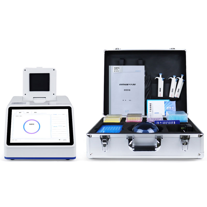
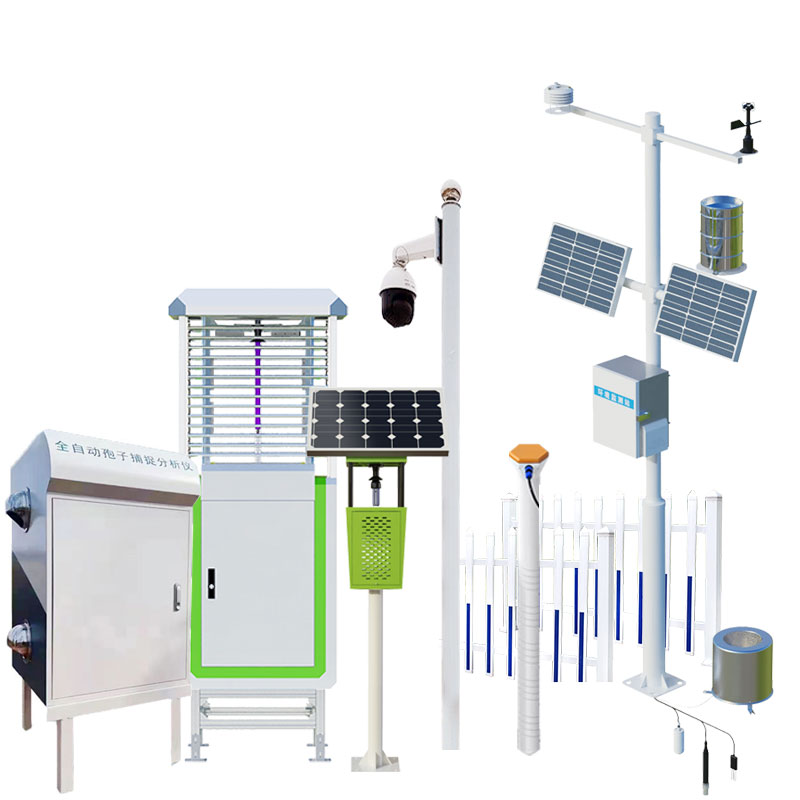
Meteorological environment monitoring equipment supplier
Insist on doing high-precision customer favorite technology products

Meteorological environment monitoring equipment supplier
Insist on doing high-precision customer favorite technology products

A portable laser cloud altimeter is a portable instrument used to measure clouds. It uses a backscatter lidar based on the principle of meter scattering, with an observation range of up to 12 kilometers, which can quickly and accurately measure aerosols, cloud height, cloud thickness, cloud cover and vertical visibility, etc., providing important information for meteorological observation and other applications.
The following are some of the features and functions of the portable laser cloud analyzer
Laser measurement principle: Determine whether there are clouds in the direction of the optical path by measuring the backscattered signal profile of the emitted infrared beam from the atmosphere, calculate the height of the cloud base, the thickness of the cloud penetration, the extinction coefficient of the aerosol, the height of the atmospheric boundary layer, and the output vertical visibility when the sky is fuzzy, and statistically estimate the cloud amount by establishing the time series of the height of the cloud base.
Height measurement range: Portable laser cloud altimeters usually have a wide height measurement range and can adapt to different weather conditions and cloud height changes.
Fast measurement and real-time display: The laser cloud height meter can quickly measure the height of the cloud in a short time. It usually has a real-time display function, and can display the measurement results on the instrument, which is convenient for users to obtain data in time.
Light and portable: The portable laser cloud height meter is lightweight and easy to carry, and can be easily used for outdoor observation and mobile observation. It is often hand-held or mounted on a portable rack for easy operation and measurement.
Data recording and storage: Some laser cloud height instruments have data recording and storage functions, which can record multiple measurement results and transfer these data to a computer or other equipment for further analysis and processing.
The portable laser cloud elevation instrument is mainly used in the fields of meteorological observation, flight safety monitoring, scientific research and environmental monitoring. It can provide accurate cloud height data for applications such as weather forecasting, aviation meteorology, climate research, and visibility monitoring of buildings. Its portability and precision of height measurements make it an ideal instrument for both on-site and mobile observations.

Sales Manager:Ms. Emily Wang
Tel, Whatsapp:+86 15898932201
Email:info@fengtutec.com
Add:No. 155 Optoelectronic Industry Accelerator, Gaoxin District, Weifang, Shandong, China